The UK campsite directory
Know what’s around the pitch.
The pub you can walk back from. The station you can arrive at. The beach at the end of the lane. We measure what’s around every one of 189,585 campsites, so you can choose by the evening you want, not just the facilities block.
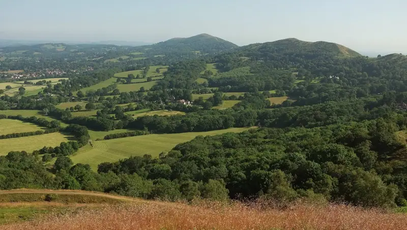
Pauline E · CC BY-SA 2.0 · Wikimedia Commons
Measured, not claimed
Distances come from the open map of Britain, not from a campsite’s own brochure. “Pub nearby” means a pub within a kilometre, checked.
A grid reference for every pitch
Every site in Great Britain carries its Ordnance Survey grid reference, ready to plot on the paper map in your rucksack.
Nobody pays to be here
No bookings, no commission, no sponsored listings. Sites are ordered by how much we genuinely know about them — and nothing else.
Pitch up, walk to the pub


Campsite · Hope Valley, Derbyshire
YHA Castleton Losehill Hall
- Pub 650 m
- Station 1.7 mi
- Viewpoint nearby


Campsite · Fort William, Highland
Glen Nevis Caravan and Camping Park
- Pub 650 m
- Station 1.6 mi
- Viewpoint nearby

Campsite · Bristol, Bristol
Enneywevers
- Pub 250 m
- Station 300 m
- Viewpoint nearby

Campsite · Buttermere, Cumbria
Syke Farm Campsite
- Pub 150 m
- Beach 600 m
- Viewpoint nearby

Camping in the UK

Where to go next
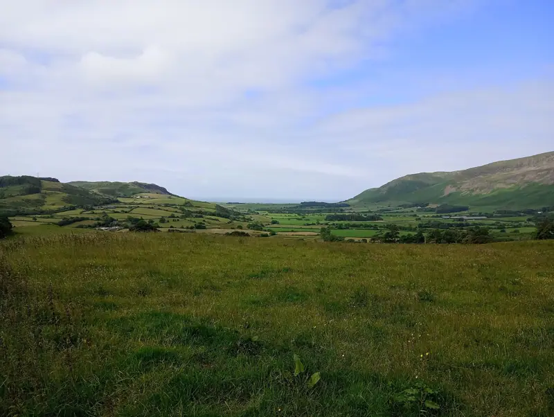
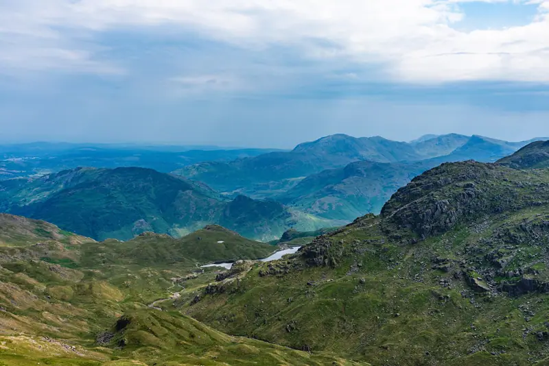
Cumbria, England
Camping in the Lake District
England’s highest ground, its deepest lake and more good pitches per square mile than anywhere else in the country.
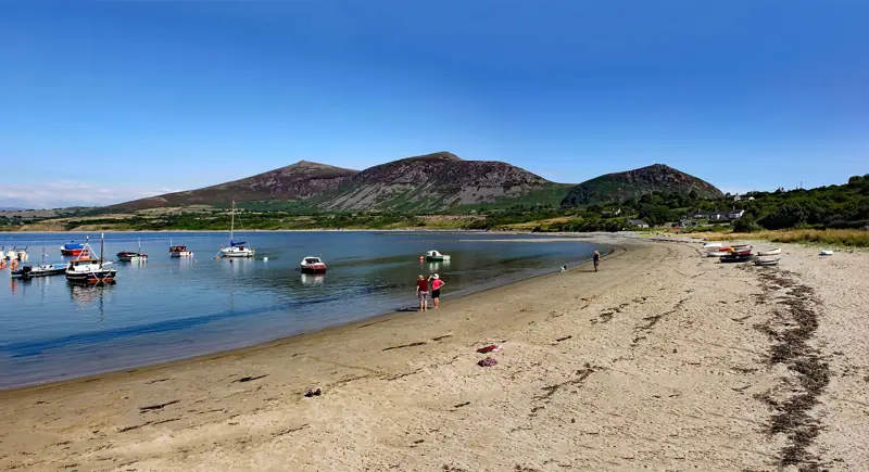
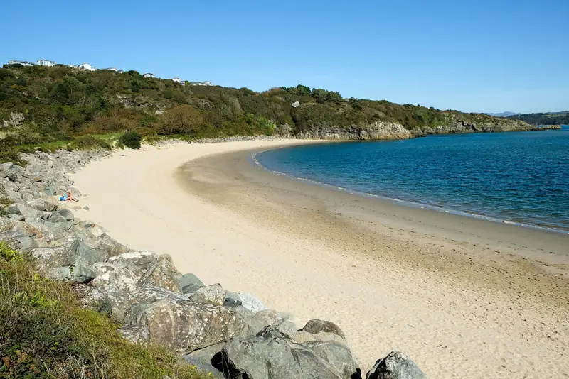
Gwynedd & Conwy, Wales
Camping in Snowdonia (Eryri)
Wales’s mountain heartland, where the highest peak south of Scotland rises straight out of slate country and the sea is never more than half an hour away.
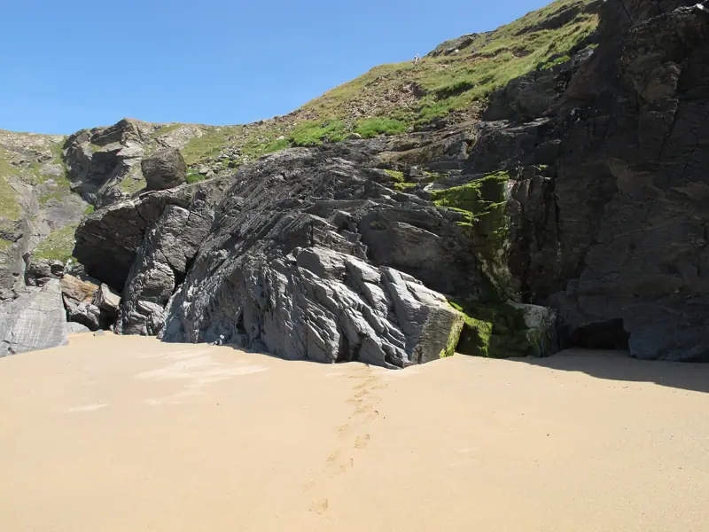
Cornwall, England
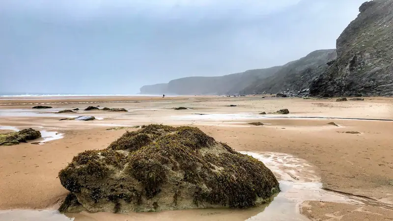
Camping on the North Cornwall Coast
Atlantic surf, cliff-top footpath and the best clustering of coastal campsites in England.